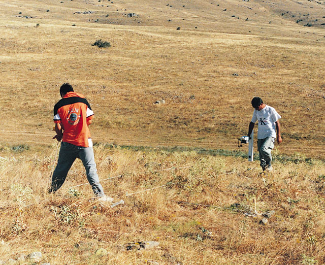
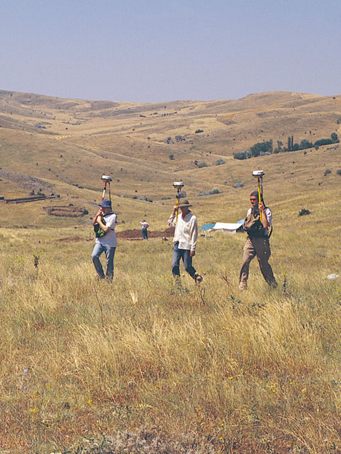
Phase 2: 1998-2002Geoffrey and Francoise SummersIn 1998 a second phase of the Kerkenes Project was initiated. The aims are: to map all of the surface terrain of the city with the GPS; to make a GPS map the immediate environs, including some of the many tumuli, the approaches and the extramural reservoirs; to make geomagnetic maps of sub-surface features of all but the steepest and most barren areas of the city; to insert further test trenches in order to ascertain the function of particular structures and urban zones and to help in the interpretation of geophysical images; to clear a section of the defences and the façade of the "palace". Analysis of the results will enable to reconstruct the dynamics of the ancient city. Intergraph Geographical Information System (GIS) is being used for electronic archiving of the different layers of information, for graphic representation of both the data sets and the interpretation and for analysis of the urban infrastructure.
The interaction of different urban zones and their relationships with the network of communications is a primary target. The study holds out the prospect of revealing evidence that will increase our understanding of cultural interaction at the catalytic period when Iranian rule was first extended over the population of the north-central Anatolian Plateau and had direct cultural and political interaction with its neighbours to the west, north and south. This interaction manifests itself in the urban design, as seen in the conceptualisation of the centrally planned imperial city, in architectural forms, in the development of pottery styles and in the taste for luxury imported objects. The Kerkenes Project will make an invaluable contribution to our understanding of the nature of early empires and the interaction between east and west. 1998
Results
This area or zone of the city, in its final configuration if not from the beginning, appears to have had only indirect access to the nearest of the city gates in the north-west section of the defences. The selection of this area of the city for elite residences (if that is indeed what they are) might be related to the abundance of perennial fresh water and to comparative shelter from prevailing weather offered by the slope of the land.
Two test trenches yielded information on the variety of building techniques and evidence that the room in which the ivory inlay was discovered, in 1996, had an upper floor. Further evidence for the importance of horses and perhaps vehicles was also recovered. |


[ kerkenes home page | kerknews turkçe | kerknews français ]
.